
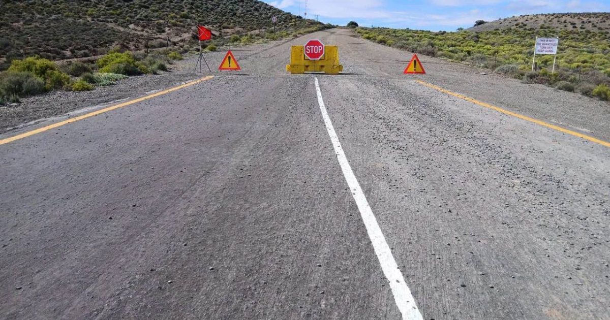
The Northern Cape Department of Roads and Public Works has announced that Klipwerf Road (DR2286) will remain closed until further notice. Recent downpours in the Namakwa District caused the low‑water bridge on this route to become inundated, creating a swift and dangerous river current that makes crossing impossible for any vehicle.
Why the closure matters for the region
Klipwerf Road is a vital link between the Loeriesfontein area and the small farming communities scattered across the Namaqualand landscape. The road not only supports the transport of agricultural produce – especially the region’s famed rooibos and grape crops – but also provides residents with access to health clinics, schools, and the nearest commercial centres. When the bridge was flooded, the Department of Roads and Public Works quickly assessed the risk and decided that keeping the crossing open would endanger lives.
What caused the flooding?
September is traditionally one of the wetter months in the semi‑arid Northern Cape, but climate models indicate that extreme rainfall events are becoming more frequent across South Africa. The storm that hit Namakwa this week dropped over 80 mm of rain in a matter of hours, far exceeding the design capacity of the low‑water bridge, which is intended only for occasional, shallow flows. As the water level rose, the river’s velocity increased, eroding the bridge’s approach embankments and creating a hazardous situation for motorists.
Safety advice and official recommendations
The Department urges all drivers to avoid the flooded bridge entirely. Attempting to cross could result in vehicles being swept away or becoming stranded in fast‑moving water – a scenario that has claimed lives in similar incidents elsewhere in the country. Instead, motorists should travel 30 km north on Loeriesfontein Road, take the Torem turn‑off, and continue to the town of Klipwerf, where an alternative paved route reconnects with the main network.
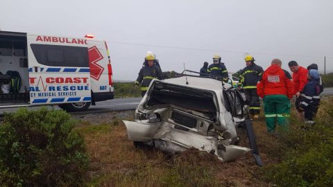
Emergency services, including the Western Cape Provincial Police and local fire brigades, remain on standby in case any vehicle does manage to enter the water unintentionally. If you find yourself in the vicinity of the closure, keep the emergency lane clear for rapid response crews and follow any on‑site signage.
How long will the road stay closed?
At present, the Department of Roads and Public Works is monitoring river levels and structural integrity of the bridge on a daily basis. Engineers are conducting a detailed assessment to determine whether the bridge can be repaired, reinforced, or replaced. Historically, similar closures in the Northern Cape have lasted anywhere from a few days to several weeks, depending on the extent of damage and the availability of construction resources.
Updates will be posted on the Department’s official website and social media channels. Drivers are encouraged to subscribe to these feeds or check local radio bulletins before embarking on trips that would normally use DR2286.
Broader implications for infrastructure resilience
The Klipwerf Road incident underscores a growing challenge for South African road authorities: maintaining safe transport corridors in the face of climate‑driven extremes. The Department of Roads and Public Works has recently launched a “Trendsetters in Infrastructure Delivery” programme, aimed at accelerating the upgrade of vulnerable bridges and low‑lying sections of road across the country. Funding from the National Treasury’s Climate Resilience Fund is earmarked for projects that raise bridge decks, install better drainage, and use flood‑resistant materials.
Local businesses have already felt the impact. Small‑scale producers who rely on timely delivery of fresh fruit to markets in Kimberley reported potential losses of up to 15 % if the detour adds significant travel time. Community leaders are lobbying for a temporary shuttle service to mitigate these economic setbacks while permanent repairs are underway.
In the meantime, the Department stresses that public safety is the top priority. Drivers should heed the closure notice, use the recommended alternative route, and stay informed through official channels. By respecting these guidelines, motorists help ensure that emergency responders can operate efficiently and that the road can be restored as quickly as possible.
For real‑time traffic information, visit the Northern Cape Department of Roads and Public Works website or follow their Twitter handle @NC_Roads. Remember: when water is high, the safest choice is to stay away.